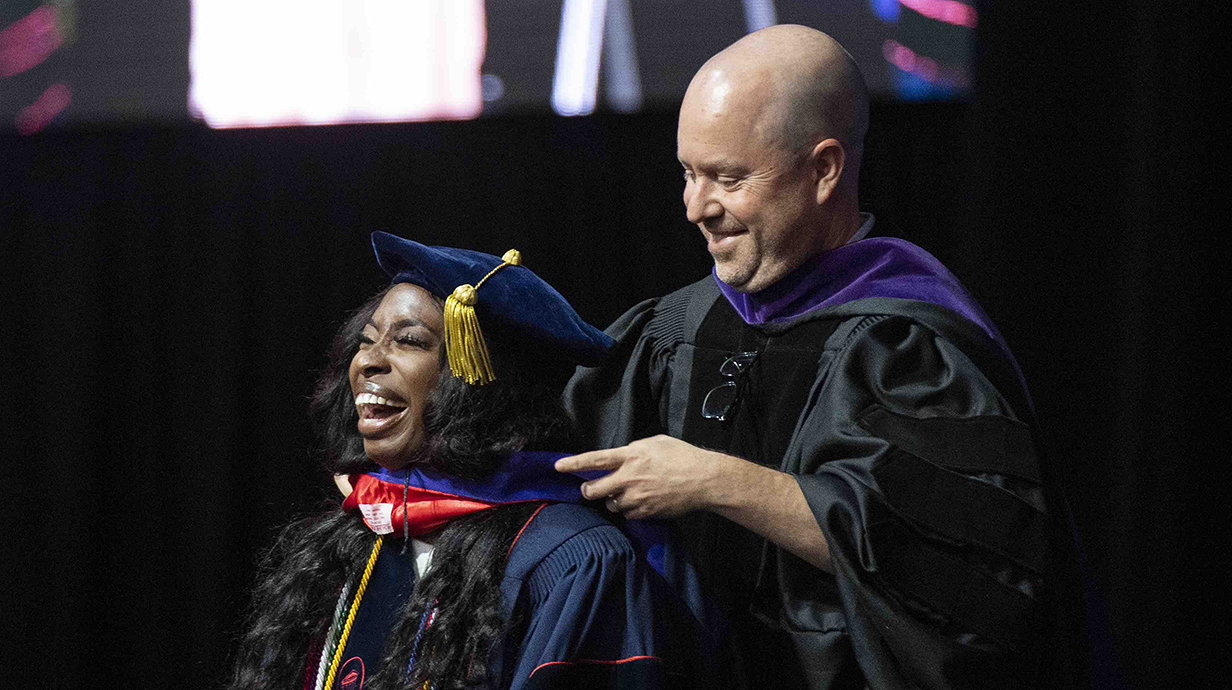
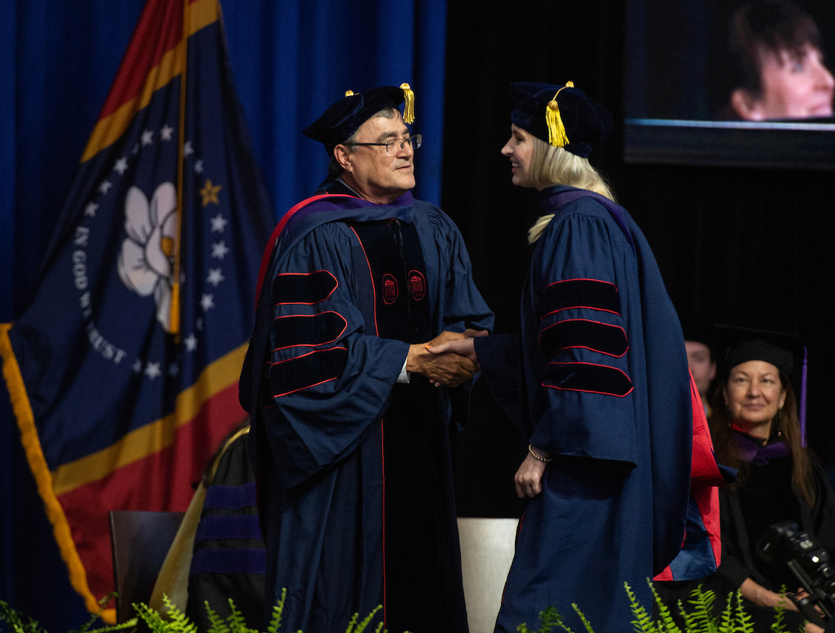
Educating Future Advocates and Leaders
Earn your J.D. at one of the SEC’s most affordable law schools, where you’ll learn from leading scholars and seasoned practitioners while gaining hands-on experience through national championship advocacy programs and real client work in our in-house clinics.
Now the Most Affordable Law School in the SEC!
Beginning in the 2025-26 academic year, the non-resident fee has been reduced to just $7,000 per year, making it even more affordable for out-of-state students to pursue their J.D. at UM Law!

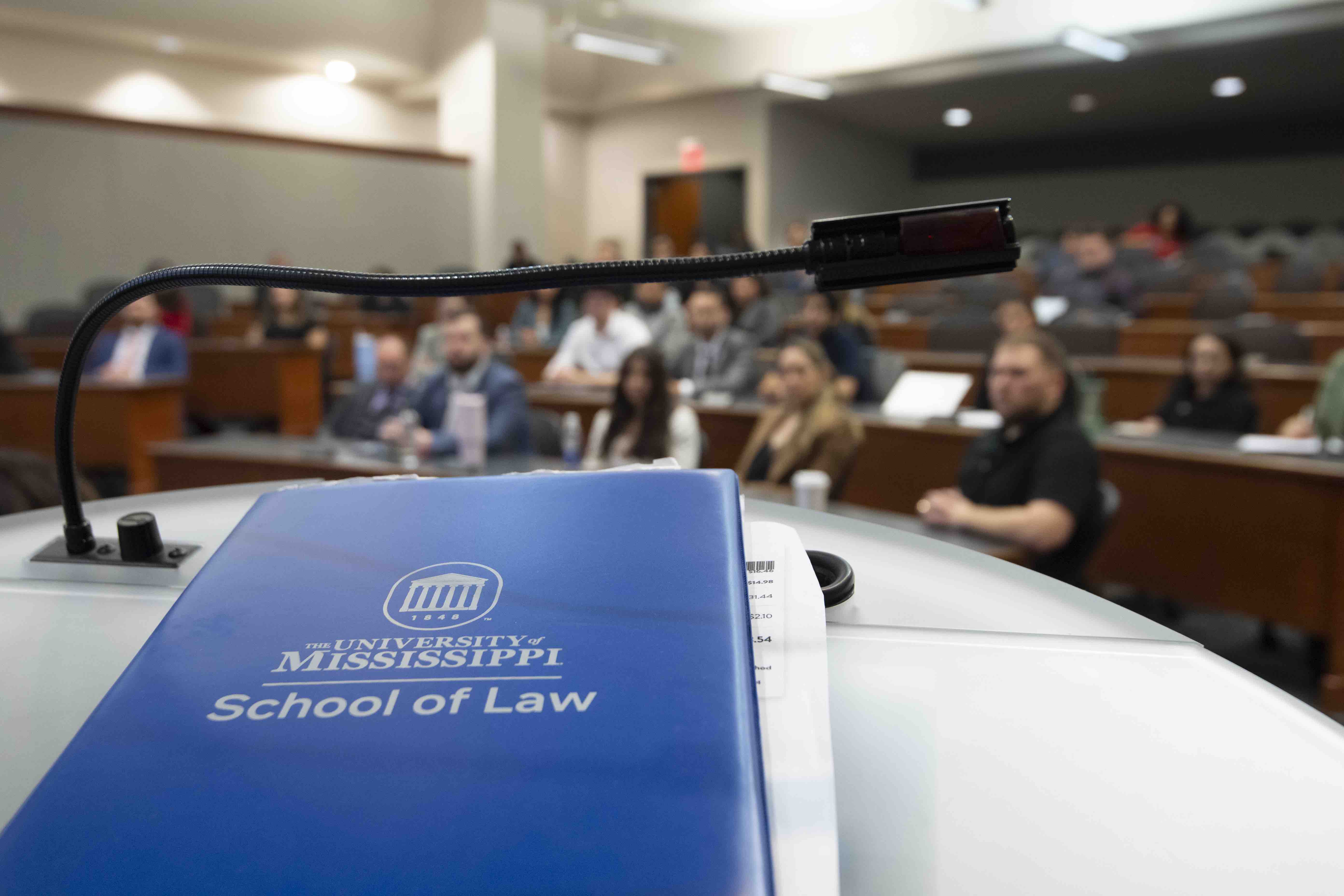
Academics and Admissions
Explore Our Programs

Student Resources
A Guide to Success for Current Students
About
Learn More About the School of Law
How We Stand Out
Top 18
in federal judicial clerkship placements
Top 25
Sports Law Program
Top 30
for teaching and faculty accessibility by Princeton Review
5
In-House Clinical Programs to Assist Real Clients